Sobre Mi

Full stack Web Developer. Desfacedora de entuertos digitales. Programadora por vocación. Cinéfaga de corazón. Feminista por necesidad. Apasionada de internet. Geek. Buscadora de monos de tres cabezas. Enamorada de mi perra. Estrella de rock frustrada y estudiante de por vida.
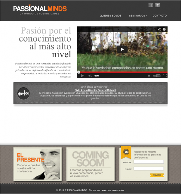
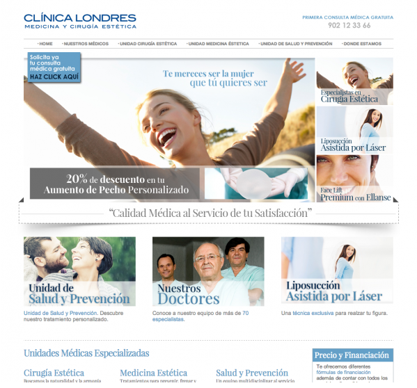
Licenciada en Comunicación Audiovisual con formación oficial de posgrado en Diseño y maquetación web front end (Photoshop, Indisign, Illustrator, CSS, HTML, XML, Js), así como en programación back end (php y Sql ). Especializada en WordPress. Creación y gestión de plantillas y plugins para wordpress.
Con más de 9 años de experiencia tanto en agencias como freelance

